STATE OF THE MAP NIGERIA
CONFERENCE, ILE-IFE
THEME:
AI-ASSISTED MAPPING, DRONE AND OPEN GEOSPATIAL FOR SDGs
9th - 11th
October, 2024
Conference Date
Njeupome Conference Auditorium, AFRIGIST
Obafemi Awolowo University Campus, Ile-Ife, Nigeria
-
Hybrid Conference
SAVE THE DATE,
DON'T MISS IT
Register now to join participants from across the nation at our upcoming conference.
ABOUT THE CONFERENCE
The State of the Map Nigeria 2024 will take place from 9th to 11th October, 2024 in the city of Ile-Ife, Nigeria. It will bring together OpenStreetMap enthusiasts from academia, private companies, humanitarian organizations, governmental agencies and the technology sector to learn, interact, and share ideas about new map technologies and innovation.
SoTM Nigeria
Ile-Ife 2024
SPONSORS
Powered by
organising partners

Platinum Sponsors
Your logo here
Gold Sponsors
Your logo here
Silver Sponsors
Your logo here
Bronze Sponsors

Travel Grant Supporters
Your logo here
Supporters Sponsors

Keynote Speakers
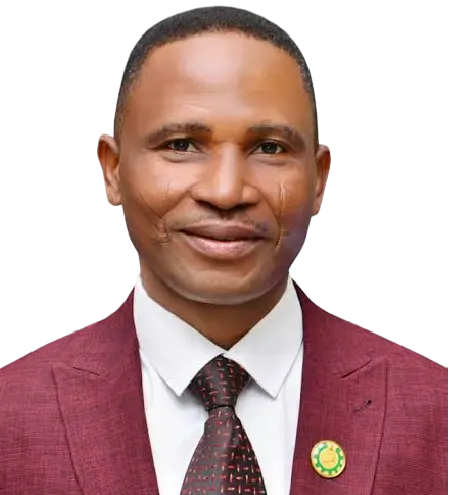
Prof. Lazarus Mustapha Ojigi
Lead Keynote Speaker
Prof. Lazarus Mustapha Ojigi - Lead Keynote Speaker
I am a Registered Surveyor with the Surveyors Council of Nigeria (SURCON), and a Professor of Geomatics (Surveying and Geoinformatics), with over 28 years of teaching, research and professional experience. I have vast solution-driven experience in space geodesy and satellite applications, computing and geospatial modeling.
I am a visiting Professor at the Institute of Space Science and Engineering (ISSE), African University of Science and Technology (AUST), Abuja, Nigeria, and an academic visitor to the Department of Civil and Environmental Engineering, Imperial College, South Kensington Campus, London; under the Provost’s Visting Professor programme. I strongly believe in resource and knowledge sharing for even development. ‘Knowledge not shared is knowledge lost. My major goal in life is to be a solution to the global development challenges through Geomatics and human relations.
As the current Executive Director of African Regional Institute for Geospatial Information Science and Technology (AFRIGIST), under the auspices of the United Nation Economic Commission for Africa (UNECA), I intend to develop an advanced geospatial facility for addressing infrastructure resilience and response to Earth dynamics and Climate Change in Africa. AFRIGIST, as a pan-African capacity building institution will be glad to partner with relevant stakeholders to achieve this objective.
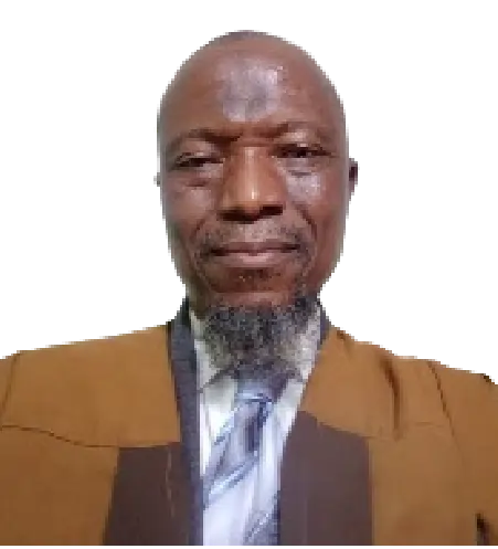
Prof. Kamorudeen Folorunso Aleem
Keynote Speaker
Prof. Kamorudeen Folorunso ALEEM
Prof. Kamorudeen Folorunso ALEEM holds a Ph.D in Surveying and Geoinformatics from University of Lagos, a M.Sc. Geodesy and Geodynamics; and B.Sc. Surveying, Geodesy and Photogrammetry from University of Nigeria, and ND Land Surveying from the Polytechnic Ibadan.
Prof. Aleem is a surveyor and a member of many professional associations. He started his academic carrier in Federal Polytechnic Mubi and rose to become a professor of Geodesy in Department of Surveying and Geoinformatics of Abubakar Tafawa Balewa University Bauchi.
He is a Reviewer to various journals, external assessor and examiner to several Universities; author and co-author of several journals, conference proceedings, poster presentations and book chapters.

Dr Caroline Nickerson
Keynote Speaker
ED Florida Community Innovation / Program Specialist at SciStarter
Caroline Nickerson is the Executive Director and co-founder of Florida Community Innovation (FCI), a civic technology nonprofit. Caroline empowers over 50 student innovators from more than five different universities to build social services technologies, engage in research projects, and conduct public service efforts to benefit Floridians, including the Florida Resource Map, which promises to be the first-of-its-kind digital access point connecting Floridians to food banks, job resources, and more.
She has worked with SciStarter in various capacities, including as Senior Program Director at SciStarter where she managed the Citizen Science Month Program, SciStarter’s Corporate Volunteer Programs and other programmatic and outreach efforts, including working with SciStarter’s Syndicated Blog Network, which encompasses the Discover Magazine and SciStarter platforms, as well as large-scale programs with multiple federal agencies (including NASA, NOAA, and the National Library of Medicine) and global groups (including the United Nations Environment Programme). She currently works at SciStarter as a program specialist.
At UF, Caroline has worked on multiple projects, including a climate change communication series with UF/IFAS Extension, creating the Internet of Things for Precision Agriculture community engagement team, research assessing the Restore the Shore project, and public engagement research about a certification for pollinator-friendly plants. She has also TA’d for multiple classes, including a social media class, a public policy class, and a multimedia communication class.
Caroline is currently a CEE-Change fellow with the North American Association for Environmental Education, and received a North American Colleges and Teachers of Agriculture teaching award in 2024. Caroline is currently a social entrepreneur in Rally’s cohort, which is supported by the City of Orlando and Orange County, among other partners.
Caroline is a Master of Public Policy graduate from American University, where she was a Reilly Environmental Policy Scholar, an honor conferred by the former director of the EPA, Bill Reilly. Caroline was an undergrad at the University of Florida and was one of the inaugural recipients of the College of Liberal Arts and Sciences’ Student Excellence Award, an honor conferred to only three graduating seniors. She graduated with honors as a double major in History and Chinese.
In her spare time, she volunteers with the UF-VA Bioethics Unit, the Christensen Project (where she serves homeless and underserved groups), and others.
Caroline also co-founded the Commission on Local Debates and produced multiple debates for local elections in Central Florida that ran on local news.
As a fun fact, Caroline was the 2019 Cherry Blossom Princess representing the state of Florida and the grand prize scholarship winner at Miss Earth USA 2021 as Miss Louisiana Earth. She was also recently featured in a children’s book about open science!

Adeola Akinwale
Keynote Speaker
Brief Profile of Adeola Akinwale
Adeola Akinwale is a GIS Analyst and Drone Technology expert. She is a distinguished Chartered Surveyor, holding certification from the prestigious Royal Institute of Chartered Surveyors (RICS) in the United Kingdom. She holds master’s degrees in Environmental Informatics from the University of Leicester and Environmental Mapping from University College London.
Adeola is the founder of SheFlies, a community focused on nurturing and empowering young minds in STEM, specifically within the Unmanned Aircraft Systems (Drone) industry. Her mission involves cultivating early interest in drone technology among youth, especially females, encouraging their interest in STEM sectors, and equipping them with the skills needed to succeed through mentorship, training, and engaging activities.
Previously, Adeola managed a significant mapping project in Lagos, spanning 3600 square kilometers, employing the cutting-edge technology of Drones. She currently works as a Senior Drone Analyst with Ajuno Ltd.
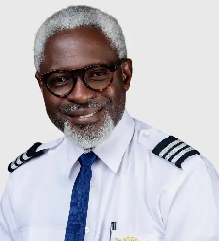
Captain Tobi Sowole
Keynote Speaker
Captain Tobi Sowole (CEO SpatialMatrix Ltd)
Tobi specializes in strategic applications of technology to solve business problems. He has led large teams in transforming businesses using latest technology and ensures high return on investment for the projects.
Tobi is an avid biker and a member of the prestigious Easy Rider’s Motorcycle Club.
Some Projects:
- Team Lead, Implementation of Enugu Lands Information System (ELIMS).
- Team Lead, Implementation of Abia Lands Information System (ALIMS)
- Team Lead to the National eGovernment Strategy Commission (NeGST)
- Team Lead, Implementation of Bayelsa GIS
- Project Management Team Lead, Benue Lands Information System (BenLIMS)
- Chief Technical Officer, Adamawa Geographic Information System (ADGIS)
- Team Lead(SML), Ogun State Geographic Information System
Specialties: Geographic Information Systems, Business Strategy, BPM, Mobile Payment, Land Information Systems, PostGIS, Geodatabase, Cadastre, Project Management, Openlayers, iOS, Android
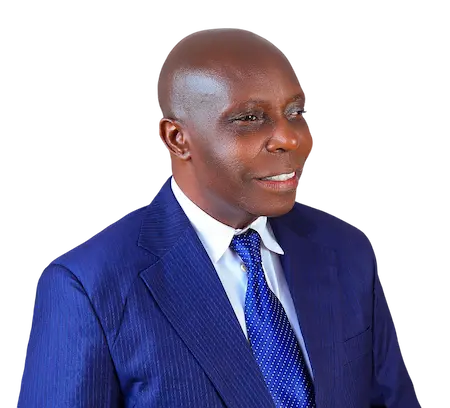
Prof Joshua U Ogbonna
Keynote Speaker
Professor of Geographic Information Systems and Spatial Modelling
Prof Joshua Ogbonna is a dedicated and hardworking Geostatistical and GIS analyst with over 30 years of experience working with GIS, SPSS software, and Computer Applications for developing GIS databases, data creation and snapping tolerances; and a teacher of professionals, graduates and undergraduates. He has been responsible for determining noteworthy variables in geographical areas like gully erosion modelling, Land modelling/Digital Cadastral and other geo-mapping solutions using specialised computer programs and GIS tools. In collaboration with various international/local training and conferences, I have competently and confidently analysed data using GIS and quantitative models to create and design databases for optimal results. A member of many academic/professional organizations including IT/Computer Professionals of Nigeria, Association of American Geographers (AAG), Association of Nigerian Geographers (ANG), American Society for Photogrammetry and Remote Sensing (ASPRS) and many others.
Presently the Director, Institute for Continuing Education, Abia State whyUniversity, Uturu. Abia State Nigeria.
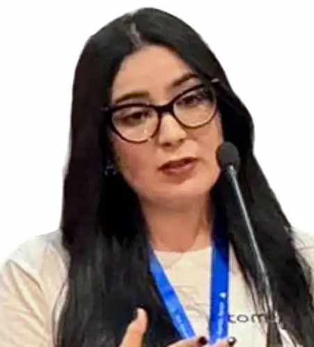
Hajar El Ouafi
Keynote Speaker
Community and Partnership Manager for Africa & Middle East at TomTom
Hajar El Ouafi is a highly experienced Geomatic Engineer with over nine years of expertise in the field. She has been with TomTom for the past five years, where she currently serves as the Community and Partnership Manager for the Africa and Middle East region.
In her role, Hajar is dedicated to fostering strong collaborations between TomTom and OpenStreetMap communities, working to enhance geospatial data quality and availability throughout the region. Her efforts are focused on building partnerships, empowering local communities, and integrating community-driven data into global mapping projects.
Hajar is passionate about geospatial technologies and is committed to strengthening relationships that promote knowledge sharing and mutual growth between TomTom and the OSM ecosystem
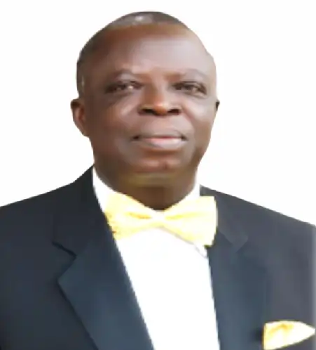
Prof. Andrew A. Obafemi
Keynote Speaker
Prof. Andrew A. Obafemi [FNCA, FCILT, FInsTA, FGEOSON, FISPN, FCAI, FIPMD, FECDMI, LFISDS FRMSN,MNES, REM (USA)
Professor of Geography,Geoinformation & Environmental Management
Fmr National President, Nigerian Cartographic Association
Fmr Director, Centre for Disaster Risk Management & Development Studies
Department of Geography & Environmental Management,
Faculty of Social Sciences, University of Port Harcourt,
OBAFEMI, Andrew Adesola is a Professor of Geography, Geoinformation & Environmental Management at the moUniversity of Port Harcourt, Nigeria, where he has worked for over 3 decades, and rising through the ranks to become a full Professor in 2013. He holds a B.Sc degree in Geography, M.Sc & PhD in Geography & Environmental Management and another M.Sc specializing in Cartography. Beyond his core research interests in Geography, Environmental and Disaster Management, he has over the years developed competences in the application of Geo-information technologies for environmental assessment, geo-positining, geo-visualization and geo-spatial Analysis. Prof. Obafemi is a fellow and fmr National President of Nigerian Cartographic Association (NCA), and led the Nigerian delegation to the International Cartographic Congress held at Tokyo, Japan in 2019. He is happily married with children and lives in Port Harcourt, Rivers State with his family.
Workshop Trainers

Sena Ghislain ADIMOU
Digital Earth Africa AFRIGIST focal point

Kingsley Chika Chukwu
Mapathon Session Trainer

Joachim Gwoke
Mapathon Session Trainer

Calvin Menttor
Mapathon Session Trainer
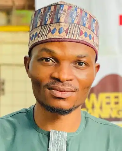
Peter Emmanjay Adaviruku
QGIS/Remote Sensing Session Lead
LOC Members
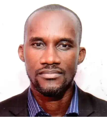
Dr. Victor Sunday
Chairman

Prof. Joseph Oloukoi
AFRIGIST Senior Delegate/Academics
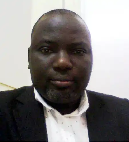
Dr. Felix Ndukson BUBA
Academics

Dr. Toyin Femi Ojo
Academics
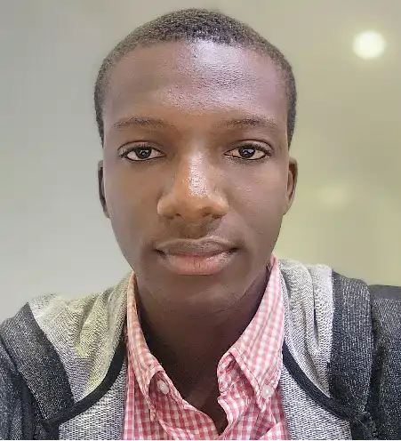
Kingsley C. AMANKWE
Programs

Oke Joshua
FUTA Student Delegate

Olorunkosebi Joshua Glory
OAU Student Delegate
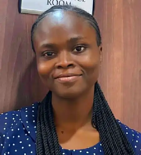
Anuoluwapo Kuye
OAU Student Delegate

Abdulquawiyy A. Owolabi
OAU Student Delegate

Mary Liwhu Marcellinus.
FSS Oyo Delegate

Justice Fejiro Erhiawaye
Uniport Delegate/Media and Publicity

Ayomide John Aluko
AFRIGIST Delegate

Agwu Agnes Ibiam
FSS Oyo Student Delegate

Sterling Umoren
UNN Student Delegate

Mercy Banu
Media and Publicity
Important Dates
- Abstract Submission Deadline: 31st August
- Notification of acceptance: September, 2024
- Late registration begins: 9th September
- Early registration ends: 8th September
- Deadline for full paper submission: 9th October
Quick Links
Call for Participation
Submission of abstracts for general track presentations and workshops begins 1st of June 2024.
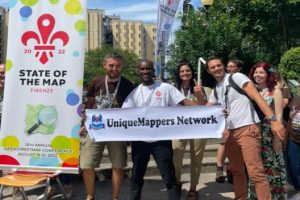
About Unique Mappers Network
Unique Mappers Network is a nonprofit organization registered in Nigeria for OpenStreetMap community

Call for Sponsors
Don't miss this opportunity to support the growth of the geospatial industry in Nigeria. Join us as a sponsor for SoTM Nigeria Conference 2024
